

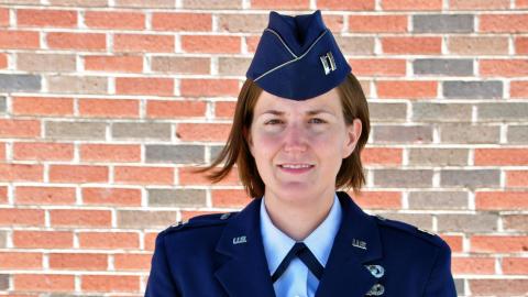
UNIVERSITY PARK, Pa. — When Lauren Maloney trained in military intelligence with the U.S. Air Force, she was impressed by how much information could be conveyed by geospatial intelligence, which uses images and data to analyze activity in specific locations.
“We typically write reports and use a lot of words to convey a message. With GEOINT you can convey it with images, and the message is so much clearer,” said Maloney, who graduated this year with a master of professional studies in homeland security, geospatial intelligence option, offered online by the Penn State College of Earth and Mineral Sciences and Penn State World Campus. “I fell in love with the whole idea.”
Read the Full News Story