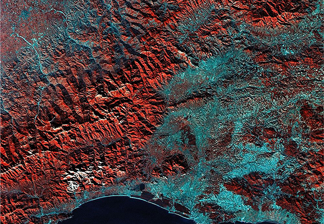
 | GEOG 6N: Maps and the Geospatial Revolution
|
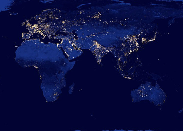 | GEOG 260: Geographic Information in a Changing World: Introduction to GIScience Description: This course provides a broad, practical foundation in Geographic Information Science (GIScience) methods and technologies, focusing on collecting, processing, and providing access to geographic data for various applications. It prepares students for advanced study in GIS, remote sensing, cartography, and spatial analysis, emphasizing professional competencies and lifelong learning skills. Technologies you'll use: ArcGIS Pro, ArcGIS Online, ArcGIS StoryMaps |
 | GEOG 361: Cartography: Maps and Map Construction Description: This course emphasizes designing and producing thematic and reference maps using principles of graphic design, map projections, generalization, and data classification. Students will engage in hands-on computer work with GIS software, working with varied digital data sources to become proficient mapmakers. Technologies you'll use: ArcGIS Pro |
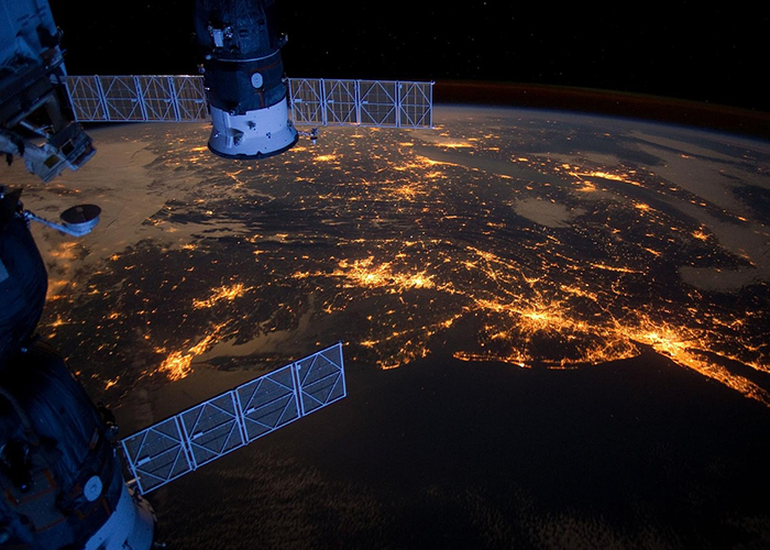 | Description: GEOG 362 provides a foundational understanding of remote sensing principles and practical skills for analyzing remote sensing imagery data. The course covers electromagnetic radiation, satellite orbits, sensor characteristics, and image processing techniques, emphasizing both theoretical knowledge and hands-on exercises to solve practical problems in various applications. Technologies you'll use: ENVI |
 | GEOG 363: Geographic Information Systems Description: This course explains GIScience and GIS principles, focusing on using data for geographic representation and analysis with GIS software and programming. Students will learn programming basics, GIS methodologies, and real-world applications, developing skills in spatial data management, visualization, and analysis to solve various spatial problems. Technologies you'll use: Python, Google CoLab, Jupyter Notebook |
 | Description: GEOG 364 introduces spatial analysis with a focus on statistical methods for geographers. Students will learn descriptive statistics, probability theory, and inferential statistics, gaining hands-on experience with Excel, SPSS, and GIS software to analyze and map statistical data, while examining everyday statistics and their presentation in the media. Technologies you'll use: R, R Markdown |
 | GEOG 365: Introduction to GIS Programming Description: GEOG 365 introduces specialized algorithms and data structures to analyze and visualize large, rapidly changing Earth science data. The course focuses on data mining algorithms for spatial and spatio-temporal data, automating GIS tasks with scripting languages, and adapting to new technologies and programming languages. Technologies you'll use: R, RStudio |
 | GEOG 463: Geospatial information management Description: This course covers the design and implementation of spatial databases for GIS problems. Topics include fundamental database concepts, data modeling, SQL, spatial query, modern spatial databases, and NoSQL databases for managing big spatial data.
|
 | GEOG 464: Advanced Spatial Analysis Description: GEOG 464 teaches students to apply quantitative methods to analyze spatial data, covering spatial regression, local analysis, and programming skills for these techniques. The course includes techniques like LISA, spatial sampling, and multivariate spatial regression, culminating in a final project that applies spatial analytical techniques to a chosen dataset. Technologies you'll use: Stata, R, MGWR |
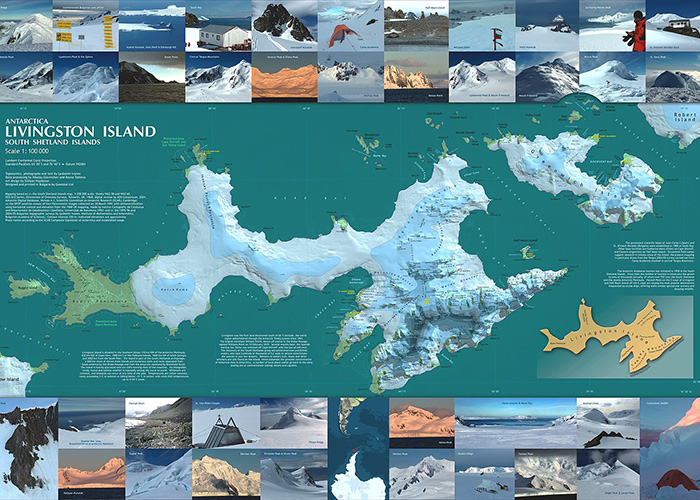 | GEOG 467: Applied Cartographic Design Description: This course immerses students in applied map production and geographic representation, covering advanced software methods for labeling, data editing, symbolization, and map series production. Evaluation is based on meeting draft deadlines, map project quality, written reports on project decisions, and an exam. Technologies you'll use: ArcGIS Pro and any tools of interest to students projects (QGIS, Photoshop, Illustrator, Tableau, etc) |
 | GEOG 485: GIS Programming and Software Development Description: GEOG 485 teaches students to solve geographic problems by modifying and automating GIS software using Python. Core topics include object-oriented programming, component object model technologies, loops, if-then constructs, and modular code design, all integrated with geospatial workflows. Technologies you'll use: |
 | GEOG 497: Advanced remote sensing Description: This course provides the knowledge and skills to apply advanced remote sensing techniques to study Earth's environment. This course covers several major topics including optical remote sensing, microwave remote sensing, altimetry, and gravimetry, illustrated with various applications on land, ocean, atmosphere, cryosphere, and urban systems. Technologies you'll use: ArcGIS Pro (or QGIS), SNAP, Google Earth Engine (through Google Colab) |
 | EMSC 460: Environmental Data Analytics Description: This course focuses on data-driven analytical methods for discovering patterns and making predictions about Earth and environmental systems using various datasets. Students will learn machine learning techniques for regression, classification, and clustering through lectures and practical projects, applying methods such as neural networks and deep learning to real-world datasets from fields like geography, geoscience, meteorology, and energy. Technologies you'll use: Google Colab (Python programming) |

