


Bacastow appointed to US Geospatial Intelligence Foundation board of directors
Todd Bacastow, teaching professor in the College of Earth and Mineral Sciences at Penn State, has been appointed to the board of directors of the United States Geospatial Intelligence Foundation (USGIF) for a three-year term.
USGIF is a non-profit organization dedicated to promoting geospatial intelligence training and education and building a stronger community of interest across industry, academia, government, professional organizations and individual stakeholders. Since 2007, Bacastow has also served as a member of USGIF’s Academic Planning Committee.

Milan Liu selected Earth and Mineral Sciences 2020 summer student marshal
Milan Liu was selected to represent the College of Earth and Mineral Sciences as the student marshal for Penn State's summer commencement, which will be held virtually at 2 p.m. Aug. 15.
Liu is graduating summa cum laude with a 4.0 grade-point average with a double major in geography and international politics, a minor in Chinese and a certificate in geographic information science. Her faculty marshal is Roger Downs, professor of geography.

Open education website connects teachers, learners with quality resources
A parent in Philadelphia needs information to help her daughter with a class project on wet weather pollution control in the school yard rain garden.
Elsewhere in the U.S., a furloughed government worker seeks professional development during a shutdown. In Brazil, a woman is interested in learning more about the changing climate, and in Zimbabwe, a GIS technician wants a reliable source of professional information.

Penn State professor receives AAG award for service to women in geography
Lorraine Dowler, Penn State professor of geography and women's, gender and sexuality studies, is the 2020 recipient of the American Association of Geographers (AAG) Feminist Geographies specialty group’s Jan Monk Service Award.
This award is named in honor of Jan Monk, a past president of AAG, and “recognizes a geographer who has made an outstanding service contribution to women in geography and/or feminist geography."

Doctoral candidate's research explores human, agricultural interactions in Nepal
Marie Louis Ryan, doctoral candidate in Penn State's Department of Geography, received the Graduate Student International Research Award from the Graduate School for her research exploring human and agricultural interactions in Nepal.
Specifically, Ryan examines how the labor force outmigration of working age men in Nepal’s midhills impacts labor, land use, and the agricultural biodiversity of rice and finger millet — two key crops in the region.
Penn State launches master's degree in spatial data science
More and more companies are using location data from devices like smartphones and tablets to gain insights into choices consumers make. As the volume and complexity of location data increases, the demand for the professionals with the technical skills to leverage these data is also increasing.
A new degree from Penn State, a master of science in spatial data science, aims to address that growing need.
The degree is being offered exclusively online through Penn State World Campus, the University’s highly ranked online campus. The faculty from Penn State’s renowned Department of Geography in the College of Earth and Mineral Sciences will teach the courses and advise students in this new program.
Here but still 'there': Using virtual-reality field trips to enrich education
UNIVERSITY PARK, Pa. — Classes may have been held remotely during the previous spring semester, but Penn State faculty members found creative ways to bring field trips to their students, even when they couldn’t necessarily bring students out into the field. Two courses in Penn State's College of Earth and Mineral Sciences employed virtual reality field trips last semester to continue delivering the same high degree of academic quality that Penn State is known for around the world.
"Fully immersive virtual reality, where everything is interactive, is the ideal," said Alexander Klippel, professor of geography and director of the Center for Immersive Experiences. "But that requires special equipment that would not work in the new remote teaching environment."

Marching for change: 2017 Women's March met with mostly positive support online
UNIVERSITY PARK, Pa. — Large protest events can be divisive, spurring an outpouring of both support and opposition. But new Penn State research found that the 2017 Women’s March, which championed goals in support of women and human rights, was met with mostly positive support on social media, with relatively few negative messages.
In an analysis of all geolocated tweets in the continental U.S. on the day of the march, the researchers found that not only were tweets about the march generally positive, but they were actually more positive than other geolocated tweets — those that have an attached location — on that day. Tweets about the march rose to a peak of 12% of all geolocated tweets on that day.
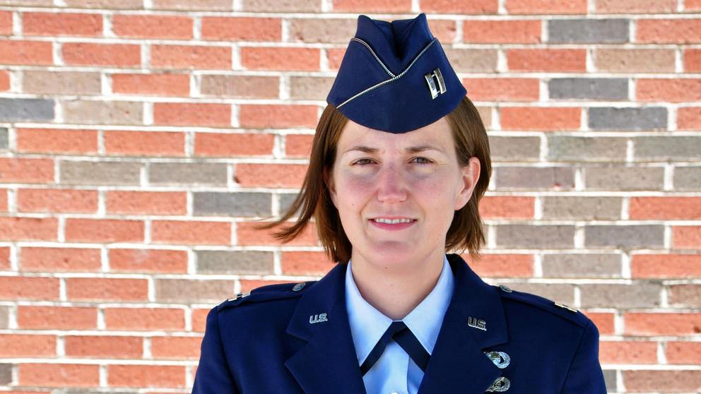
World Campus graduate, reservist wins award for geospatial intelligence
UNIVERSITY PARK, Pa. — When Lauren Maloney trained in military intelligence with the U.S. Air Force, she was impressed by how much information could be conveyed by geospatial intelligence, which uses images and data to analyze activity in specific locations.
“We typically write reports and use a lot of words to convey a message. With GEOINT you can convey it with images, and the message is so much clearer,” said Maloney, who graduated this year with a master of professional studies in homeland security, geospatial intelligence option, offered online by the Penn State College of Earth and Mineral Sciences and Penn State World Campus. “I fell in love with the whole idea.”
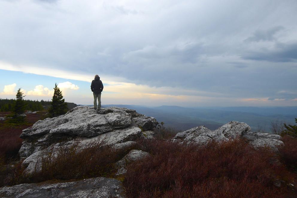
Purple Lizard geographer’s mission to aid outdoor discovery
UNIVERSITY PARK, Pa. — It took a global pandemic to convince many of something Mike Hermann has long known: We are surrounded by some amazing outdoor attractions.
Hermann, founder of the adventure map company Purple Lizard and a 1995 Penn State geography alumnus, said he founded the company after attending the University and realizing how little people knew about the area that surrounds them. Since 1997, he’s parlayed his love of geography and outdoor landscapes into his business venture.